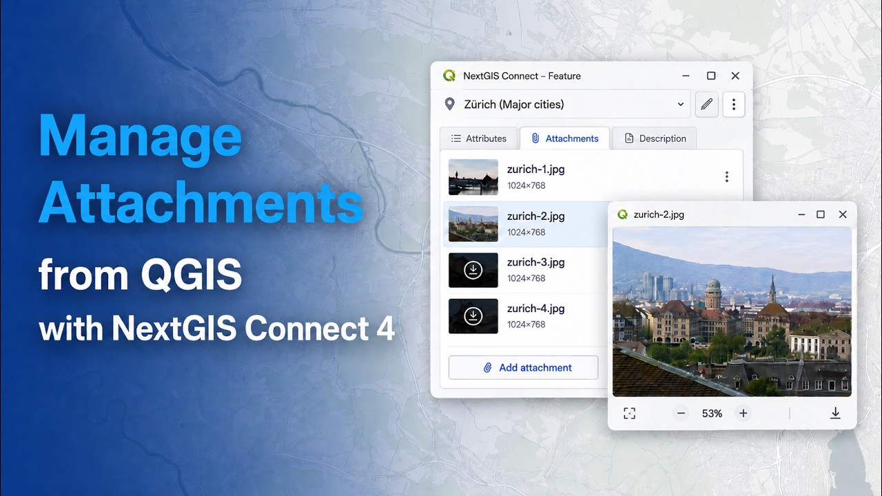
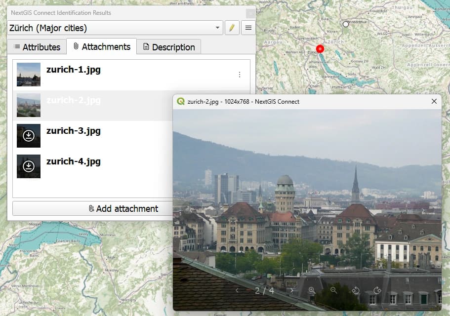
NextGIS Connect 4 brings a major update to the workflow between QGIS and NextGIS Web: feature attachments can now be managed directly from QGIS.
Photos, documents, scans, and other files associated with vector features are often an important part of a GIS dataset, especially in field surveys, inspections, infrastructure inventories, and environmental monitoring. With NextGIS Connect 4, there is no longer a need to switch to the NextGIS Web interface just to work with these files.
The new release also introduces a redesigned interface, improved connection diagnostics, cancellable long-running operations, safer bulk resource deletion, better search, new data type support, and numerous improvements to raster and vector workflows.
The new version of NextGIS Connect is already available in the official QGIS Plugin Repository.
Learn more: Manage feature attachments directly from QGIS with NextGIS Connect 4 | NextGIS