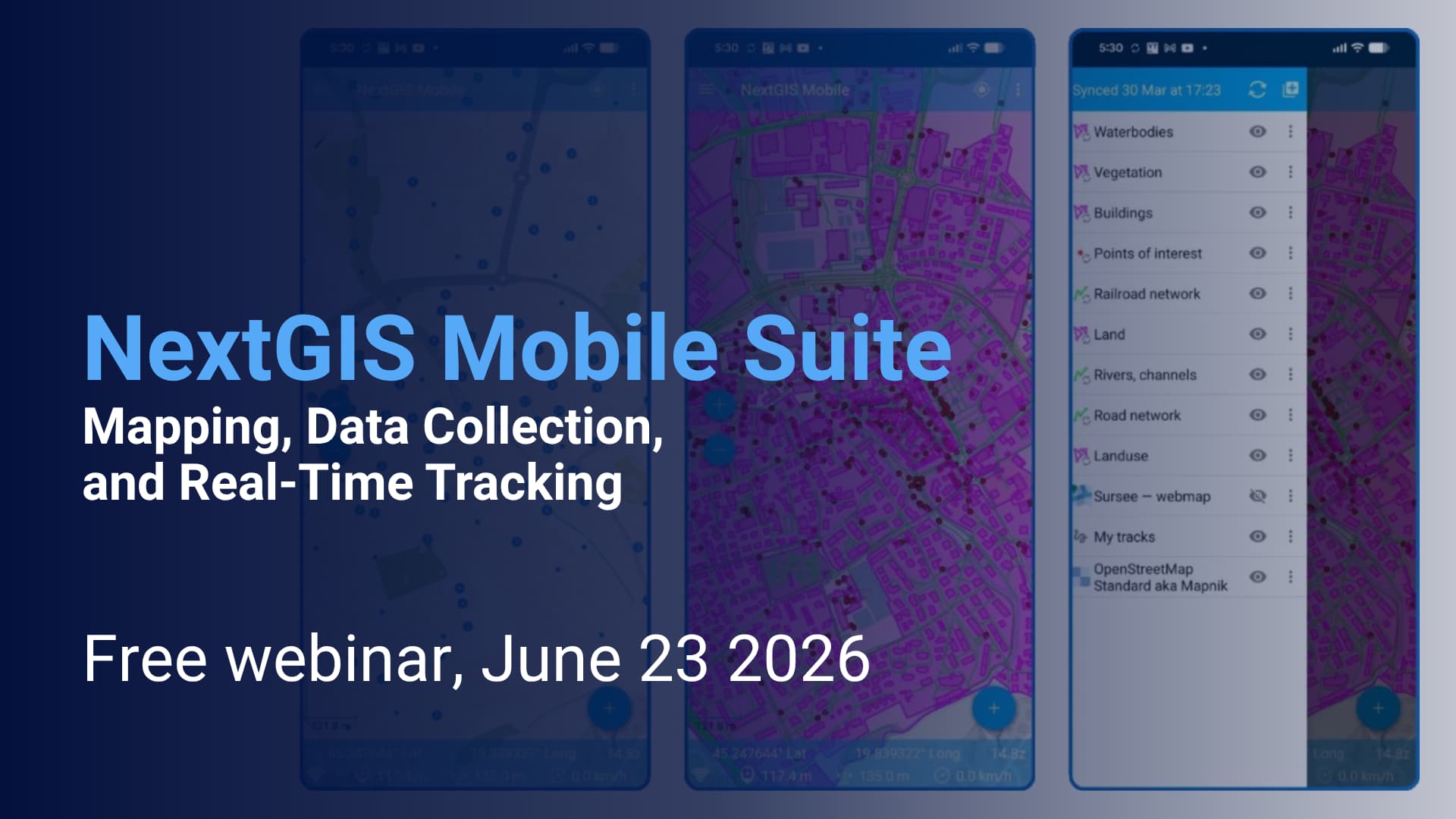
Field data collection and mobile workforce management are essential components of modern GIS infrastructure. In this webinar, we will explore the NextGIS mobile ecosystem and demonstrate how organisations can collect, edit, monitor, and synchronize geospatial data directly from the field.
We’ll cover three applications:
-
NextGIS Mobile, a flexible mobile GIS for viewing, editing, and managing spatial data on Android devices.
-
NextGIS Collector, a streamlined solution for structured field data collection and surveys.
-
NextGIS Tracker, a tool for real-time location tracking.
Register for free to get the link: NextGIS Mobile Suite: Mapping, Data Collection, and Real-Time Tracking — NextGIS Events