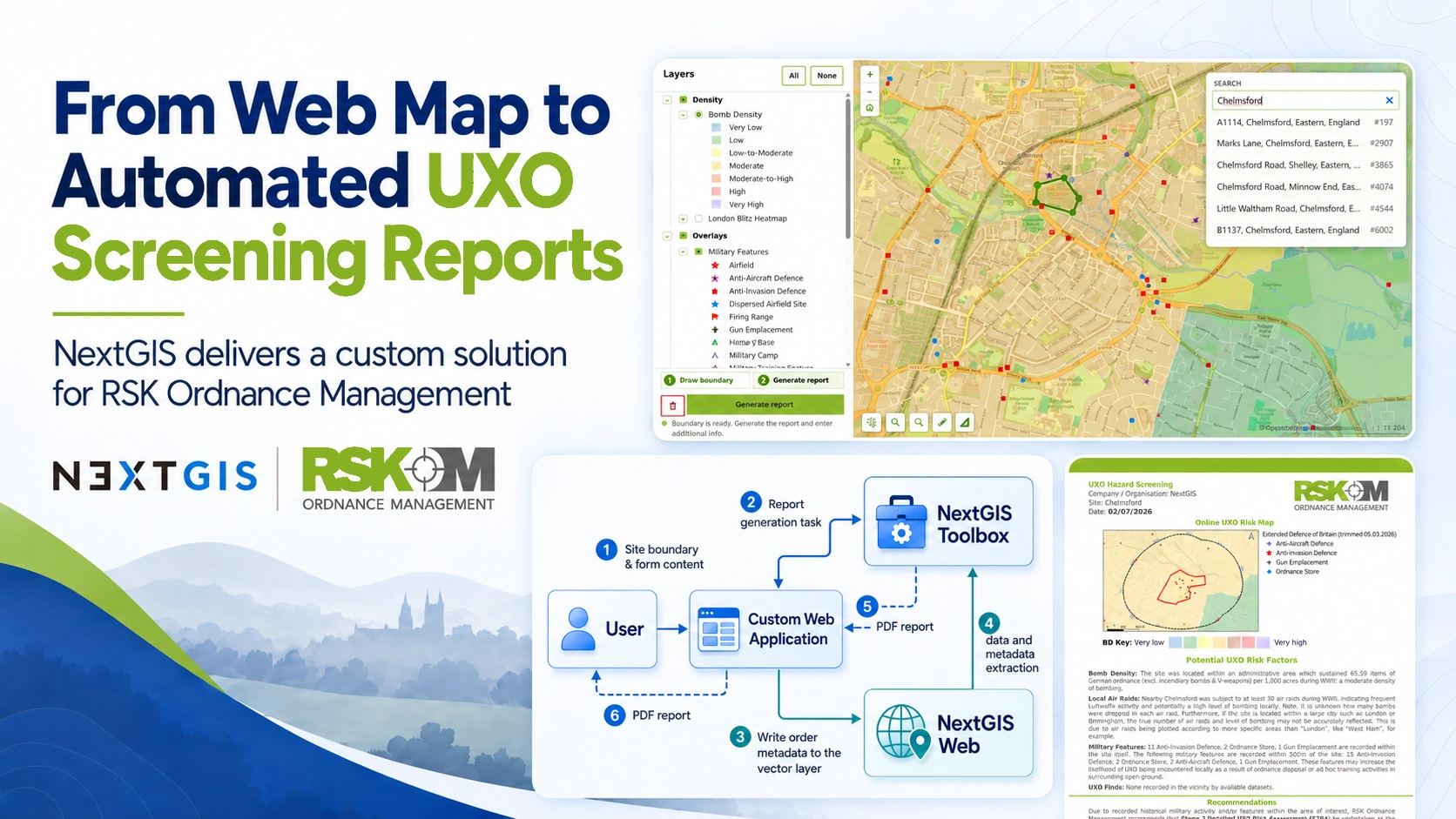
RSK Ordnance Management needed a practical way to turn specialized geospatial datasets into clear, client-ready UXO hazard screening outputs. The goal was not only to publish data on a map, but to guide users through a complete workflow: find a location, define an area of interest, analyse relevant spatial information, and receive a professionally formatted PDF report.
NextGIS developed a custom Online UXO Risk Map and Hazard Screening Report Generator for RSK Ordnance Management, combining an interactive web map, automated geoprocessing, and dynamic PDF report generation.
Read full case study: From Web Map to Automated UXO Screening Reports | NextGIS